
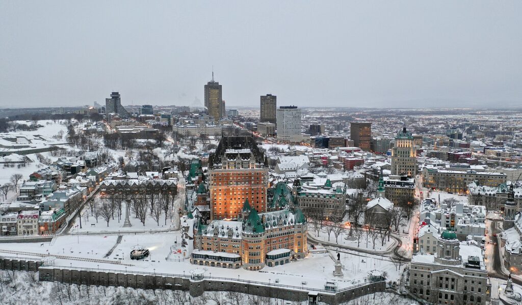
Somewhere in a planning office, a second copy of the city is running a few minutes ahead of the real one. This digital twin — a living model fed by sensors, maps and simulations — lets officials rehearse the future: close this road and watch congestion bloom there; raise that flood wall and see which streets stay dry. What began in aerospace has become urbanism’s most ambitious tool.
The adopters range from city-states to modest municipalities, and the reporting, including by the BBC, finds a common motive: expensive mistakes are easier to make in a model than in concrete. A twin will not make decisions wise, but it makes consequences visible before the money is spent.
What a Twin Actually Contains
At minimum, a twin holds the city’s geometry in three dimensions: buildings, roads, pipes, cables. The serious ones add live layers — traffic flow, air quality, energy demand, river levels — and physics-based simulators that can flood the virtual streets or model the shadow of a proposed tower across a year of sunsets.
The art lies in keeping the twin truthful. Cities change daily, so the best programmes wire the model into the machinery of government itself: every approved building, every roadwork, every new sensor updates the twin as a by-product of doing the work.
Decisions It Has Already Changed
Flood defence is the showcase use. Planners can test storm scenarios against combinations of barriers, drainage and land use, and show residents precisely which homes each option protects. Transport teams use twins to rehearse roadworks, signal timings and bus routes, finding the knock-on gridlock before it happens to real commuters.
Energy planners, meanwhile, model rooftop solar potential street by street and test where heat networks or insulation drives will cut the most carbon per pound spent. The twin becomes a shared negotiating table: developers, utilities and citizens argue over the same visible future rather than rival spreadsheets.
The Governance Questions
A model of everything is also, potentially, an instrument of surveillance and a single point of failure. Who owns the twin? Who may see its data, and whose neighbourhood gets modelled in fine detail while others stay blurry? Cities with strong programmes publish governance charters and keep the raw personal data out of the model entirely.
There is a subtler risk: false confidence. A simulation is only its assumptions wearing a lab coat. The planners who use twins best treat them as arguments to be challenged — sensitivity-tested, argued with, and always subordinate to the messy evidence of the real streets.
The concept is spreading beyond government. Port operators run twins of their terminals to rehearse ship arrivals; hospitals model patient flow through emergency departments; water utilities simulate pipe bursts before they happen. Wherever a system is too complex to hold in one head, a twin is being built.
From Megacities to Market Towns
Cost once confined twins to wealthy megacities. Open data, cheaper sensors and cloud computing are changing that; regional governments now pool twins across small towns that could never justify one alone, sharing the platform while keeping local control of the decisions.
The trajectory points toward twins as ordinary civic infrastructure — as unremarkable, and as essential, as the map drawer and the planning portal became in their time. The cities that thrive will be those whose digital doubles are honest, current and open to public argument.
The Wider Picture
There is a workforce story running beneath the technical one. Each of these fields is short of the same people — engineers who can work across hardware and software, technicians who keep complex systems alive — and the competition for them is quietly setting the pace of progress more than any single breakthrough in a laboratory.
A digital twin cannot love a city or understand why a particular street matters. But as a rehearsal space for the future — a place to fail cheaply and learn early — it may be the most consequential planning tool since the map itself.
Read more in our Blog section, and follow the day’s coverage on our homepage.
